Town development dispute fuels new citizens group
Published 1:30 am Tuesday, June 23, 2026
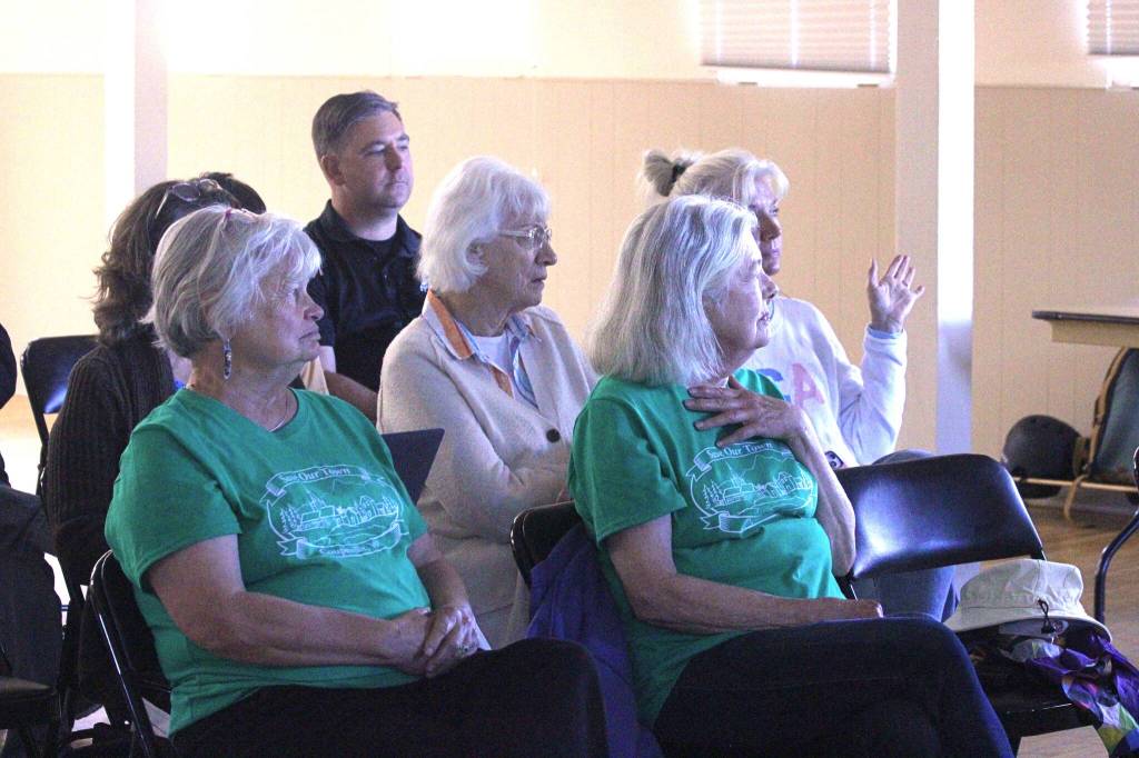

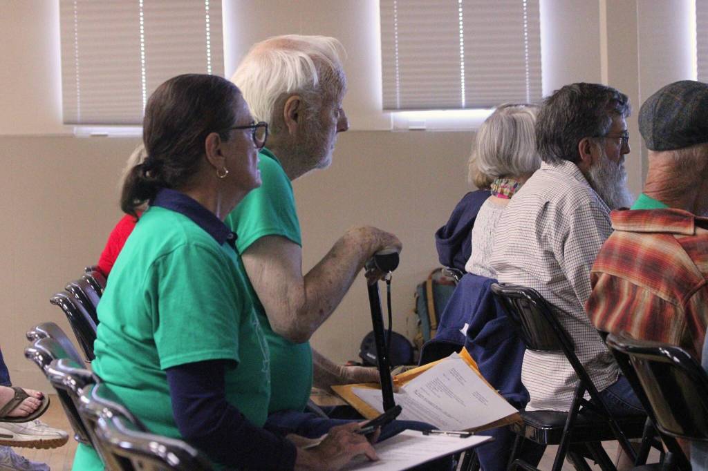


Green T-shirts bearing a logo resembling Coupeville’s official seal have become a familiar sight at town meetings in recent months.
Behind the shirts is United to Save Our Beautiful Town, a grassroots organization of about 70-80 people formed in April by residents concerned about transparency and accountability in town government. More specifically, members say they want to preserve the original intent of a 2004 property agreement governing development on about 33 acres north of Highway 20.
To Michelle Connor and William Lyle, members of the organization and affected property owners, the issue is one of trust, property rights and the potential loss of development value. They contend the town’s interpretation of the agreement could jeopardize building rights associated with their properties. Town officials disagree and maintain the properties remain developable and also contend that some property owners are only now realizing the restrictions they accepted when purchasing property within the memorandum area.
The families fear their properties could lose value if the lots cannot be developed as originally intended.
Whether the town should amend or extinguish the memorandum of agreement it entered into with Cecil and Cheryl K. Stuurmans in 2004 has been a subject of discussion among council and staff for nearly a year.
Originally, the memorandum intended to guide the development of the 33 acres owned by the Stuurmans north of Highway 20 between Main Street and Broadway Street in a manner that increased housing density while preserving green space. Affordable housing is needed statewide, and Coupeville is creating opportunities for these developments locally in its Comprehensive Plan periodic update. But as state law has changed around it, the memorandum is now limited in the housing it allows.
Joshua Engelbrecht, the town’s former community planning director, told the council during a meeting that a property owner initially brought this concern to the town’s attention.
A miscommunication meant the town’s discussion of possible changes to the memorandum lasted much longer than it should have.
In May, town officials realized that without consent from all affected property owners in the memorandum area, the town and the Stuurmans could not change the agreement. They officially abandoned the issue during a May 12 council meeting in which Mayor Molly Hughes apologized for what she called a “mistake,” and the town’s attorney took responsibility for it.
But Connor and Lyle believe the town’s work isn’t done.
All 33 acres are divided into nine subareas by the memorandum, which allots a fixed number of dwelling credits to each, indicating how many dwelling units can be built. Overall, the property is worth 108 dwelling credits, and some land is still undeveloped. Discrepancies exist between the town and the property owners’ calculations of how many credits have been used, how many remain and what subarea they belong to.
An email to the town from Connor, dated June 10, and one from Lyle, his wife and the Kelso family, dated June 15, explain the discrepancies.
Connor explained in her email that the town’s calculation of 12 remaining credits in Subarea F — included in its Comprehensive Plan Draft’s appendices from this month — fails to acknowledge two subdivided, albeit undeveloped, lots. Previously, she said, the town’s hearing examiner asserted that subdivision counts as the consumption of credits.
Subarea F is worth 19 credits, the memorandum states, and Connor believes 10 should remain.
In an interview, Hughes and Josh Pitts, the current community planning director, said how to reconcile this is currently being “researched.”
The memorandum prohibits the transfer of credits. However, in 2022, the Town Council approved the transfer of two credits from Subarea B to Subarea A, where they were used for development. There are now 14 dwelling units in Subarea A, which is only worth 12 credits per the memorandum.
While the town’s calculation of credits used and remaining in individual subareas does not reflect this, a footnote states that Town Council authorized the transfer of credits before officials “became aware of the appropriate (memorandum) amendment process” this year. That is, before officials realized they needed the consent of all the property owners.
Building permits associated with the transferred credits could have been challenged up to 21 days after their issuance, but no challenges were made.
Hughes and Pitts explained that the memorandum area will never reach its 108-unit capacity because some dwelling credits have effectively been extinguished, including those assigned to subareas protected by conservation easements through the Whidbey Camano Land Trust.
Deconstructing the legally established single-family homes built with the two transferred credits would be undesirable, as “two wrongs don’t make a right,” Hughes said. So, Subarea A has two more units than originally intended.
The Lyles and Kelsos argue that previous town credit calculations, a hearing examiner’s ruling and county property tax assessments support their position that their lots remain buildable. They contend the town’s current Comprehensive Plan update fails to recognize those development rights.
But according to Hughes, those lots can still be developed because credits are allotted to whole subareas — not to individual lots — and credits remain unused in Subarea B for now.
Hughes said an unintended consequence of the memorandum is that all of a subarea’s credits may be used before every property owner has a chance to develop.
Forty-five credits remain available for development today, according to the town. Pitts explained that before his hiring, town officials stated that 28 credits remained largely because they did not include 13 credits owned by Island County. While the plans for those credits are unclear, they are still available for development.
Hughes stressed that while the memorandum has paid off in some respects, it isn’t perfect and the land likely should have been developed according to a long-term master plan rather than in a piecemeal way. This type of property agreement is uncommon, Pitts added.