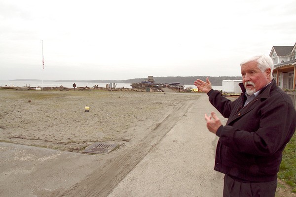
The Federal Emergency Management Agency, or FEMA, agreed Wednesday to reconsider its preliminary mapping of some Island County areas as subject to flooding.
The concession, made by FEMA Engineer Ted Perkins during a work session of the Board of Island County Commissioners, apparently eliminates the county’s need to undertake expensive studies of every remapped parcel it disagrees now faces a flood hazard.
Some Whidbey Island property owners have complained that FEMA’s new maps would impel them to buy federal flood insurance, even though they live in areas that older maps labeled as not subject to flooding.
The new maps would also affect building permits.
Perkins, who appeared at the invitation of the commissioners, stopped short of giving the county everything it wanted: an agreement to review FEMA’s controversial flood-hazard designations for large areas of the county’s coastlines, including most of the east side of Whidbey Island and most of the west side of Camano Island.
“If there are three or four stretches that need improvement (in mapping), I am willing to work with you,” he said. “I need you to highlight where (FEMA’s mapping) is a bust, and we can get those things corrected … If there’s thousands of these areas, we’ll run into financial issues, but if there are four or five, that’s something we can work to address.”
Perkins agreed to work with county current-use planning chief Hiller West and staffer Andy Griffin, and with Coast & Harbor Engineering engineer David Simpson, to determine as quickly as possible which areas FEMA should re-examine.
Coast & Harbor, an Edmonds firm the county hired for $43,000 last year to perform some initial studies, earlier this month found evidence FEMA had erred in mapping two areas on Whidbey.
Another spot of good news that emerged from Wednesday’s session: the new FEMA maps move roughly 500 people out of formerly designated floodplains, eliminating their need to buy flood insurance.


