When it comes to coastal planning, it’s best to keep looking forward.
As the climate changes, historical data is becoming less useful as a tool to predict what will happen in the years ahead, according to Ian Miller, coastal hazard specialist and lead author of a new report.
The Washington Coastal Resilience Project recently released updated sea level rise projections for Washington state.
The report includes localized data for around 170 locations, including about 12 on Whidbey Island.
Methods used to generate the numbers were refined from a smaller-scale project completed with Island County in 2016. This original report and the updated numbers are used to inform decisions about restoration projects and shoreline development.
“We were looking to make sure that we were allocating local, state and federal funding to projects that were not going to be naturally inundated,” said Lori Clark, Island County Department of Natural Resources manager.
The data provides the relative sea level projection at varying degrees of probability for the years between 2020 and 2150. Two sets of data were generated for lower and higher levels of greenhouse gases. For instance, the data shows by 2080 there is an 80 percent chance the sea level will rise 1.6 feet on the coast near Clinton in the higher greenhouse gas scenario.
“It might take a little more work to engage with it,” Miller said of data. “… but once you get there, we think it leads to much more nuanced conversations about vulnerabilities and possibilities.”
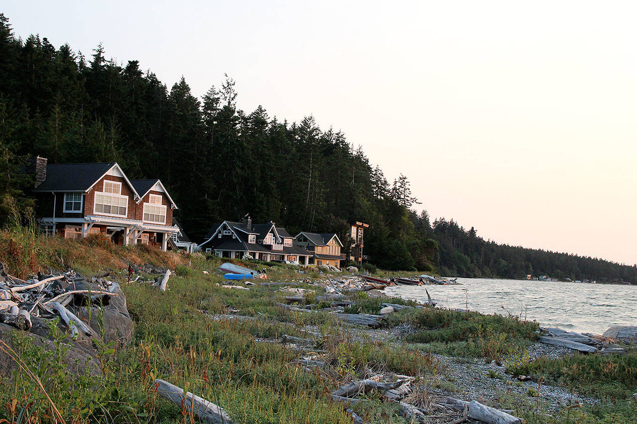
For Whidbey, the areas of most concern are Useless Bay and Crescent Harbor, according to Dawn Spilsbury Pucci, lead entity coordinator for salmon recovery.
It’s likely the county planning department will take into account sea level data as part of the 2020 update to its Shoreline Master Plan, according to Planning Director Hiller West.
West said he’s waiting for more details on if it will be required by the state Department of Ecology to know exactly what that will entail.
The new projections take into account vertical land movement. Generally speaking, scientists believe the area around Neah Bay on the Olympic Peninsula is rising while the land in the South Sound in sinking. Whidbey Island is on kind of a pivot point, which makes it difficult to predict its vertical movement.
“We really can’t say with certainty whether that area is subsiding or not,” Miller said.
There are subtle differences between the north and south ends of the island, which he said aligns with the general trend of southern areas subsiding more rapidly than northern areas.
Adding the degree of uncertainty and likelihood associated with each number allows planners, conservationists and homeowners to make decisions based on their own “risk tolerance,” said Clark.
By 2060, there is a 50 percent chance the water will rise 1 foot on the north and south end, according to the data. There are a number of changing factors that will affect these numbers in the years to come.
The “business-as-usual” greenhouse gas scenario used in the 2016 Island County report would now be considered a best case scenario, Spilsbury Pucci said. No matter the scenario, researchers predict that storm water surges will become bigger and more impactful in the future.
Bob Hallahan, Whidbey Island chapter lead for the Citizens’ Climate Lobby, said the numbers aren’t surprising, especially since the actual amount of carbon emissions in the atmosphere tend to be higher than forecasts.
“There should be a large amount of concern,” Hallahan said. “We’re trending toward the higher end of these numbers.”
Larger storm surges are already a reality for many people who live on Whidbey’s shores.
“The places that are at highest risk for inundation in the next 80 years are areas we already know about,” Spilsbury Pucci said. “The landowners are already experience flooding frequently in those areas and tell us they’re getting flooding from the ocean more frequently every year.”
Clark and Spilsbury Pucci said there’s no reason for people who live on Whidbey shores to panic, however. They recommend people who plan to build on the shoreline set their houses back as far on the parcel as possible, raise up their houses and move electrical boxes and cherished family items up and out of basements.
“We don’t want people to think that you can’t still enjoy the shoreline with your home,” Spilsbury Pucci said.